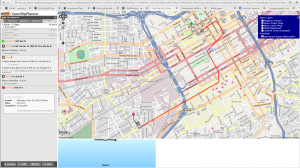
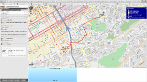
Continuing on with my project to get Birmingham’s MAX bus system on Google Transit, I was able to get the Open Trip Planner software up and running. This is letting me visualize some of the preliminary GTFS data to validate it before I continue work on the rest of the routes.  Here’s two examples showing trip planning between various locations. The stop locations are coming from my stop cataloging site.

